NOAA’s first Physical Oceanographic Real-time System, or PORTS®, at Pearl Harbor-Honolulu, Hawaii, is now operational. Installed by NOAA's National Ocean Service, data from the new publicly available observation system advances NOAA’s ability to better serve Hawaii’s coastal communities and secure maritime safety in the Pacific Islands.
Pearl Harbor-Honolulu PORTS is NOAA’s 40th system in this national network of precision marine navigation sensors concentrated in busy U.S. seaports, and is the result of a partnership between NOAA and U.S. Navy Region Hawaii. Data from the system will be used to assist in the Navy’s planning and monitoring during daily operations and hazardous weather situations in Pearl Harbor and on Joint Base Pearl Harbor-Hickam—home to more than 55,000 military members and civilians, contributing more than $2 billion annually to the local economy.
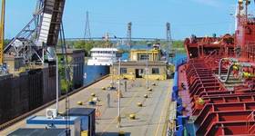
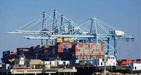
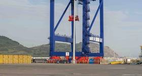
Commercial and local mariners traveling to Honolulu Harbor, the principal seaport of Hawaii, will also have access to these publicly available real-time observations. They will enable safer vessel movement, help determine the amount of cargo a vessel can carry and reduce transit delays for commercial traffic. Honolulu Harbor handles more than 11 million tons of cargo annually. National Weather Service forecasters in Honolulu will use PORTS water level observations to anticipate and communicate coastal flooding impacts to the community so preemptive actions can be taken.
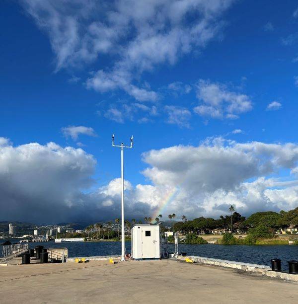
The Pearl Harbor-Honolulu PORTS consists of one water level and meteorological station located in Pearl Harbor (Ford Island) and a buoy-mounted current meter at Ford Island Channel, Lighted Buoy #1, sponsored by the U.S. Navy. The new stations will collect data on wind, air temperature, air pressure, and tidal currents to help mariners plan for safe docking in high winds, adverse weather, and heavy ship traffic.
The system also integrates data from a long-standing NOAA National Water Level Observation Network station at Honolulu Harbor, as well as a Coastal Data Information Program wave buoy at the entrance to Pearl Harbor.
PORTS® is a successful public-private partnership program between NOAA and local partners that provides an integrated system of sensors concentrated in seaports. These sensors deliver accurate, real-time environmental data to commercial and other vessel operators. The PORTS® program supports safe vessel movements in more than half of the top 175 U.S. seaports, including key coastal military installations. The safety and economic benefits of PORTS® are well documented, including a 50% reduction in maritime accidents in seaports where real-time data is available. The data is publicly accessible online and can be integrated into vessel portable pilot units.The new Pearl Harbor-Honolulu PORTS® will be maintained by NOAA.