Real-time tides, currents, water levels and other metrological information at Broward County’s Port Everglades is now readily available to the public thanks to an advanced sensor device developed and installed by the National Oceanic and Atmospheric Administration (NOAA).
“Boaters and commercial mariners will be able to make safer choices based on the data from this equipment because it gives real-time information and forecasts,” said Port Everglades Deputy Port Director Glenn Wiltshire. “Before this equipment went into service, mariners had to rely on data for Lake Worth in Palm Beach County, or from Virginia Key in Miami to estimate conditions here.”
The newly installed Port Everglades Physical Oceanographic Real-Time System (PORTS) is available on the port’s website at porteverglades.net or via phone at 866-213-5269.
“Having real-time tides, water levels and other meteorological information all online or via a toll-free phone number is truly an asset that we can all enjoy,” said Broward County Commissioner Chip LaMarca. “Moreover, this equipment is collecting data about our natural resources that we can apply to preparations for storms, climate changes and sea level rise.”
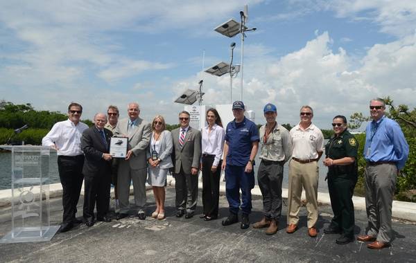
Broward County’s Environmental Planning & Community Resilience Division co-sponsored the PORTS device as it provides valuable data for storm and climate change preparedness. The Florida Inland Navigation District (FIND) provided a grant to offset a portion of the cost to install the equipment.
“Port Everglades PORTS will give vessel operators the real-time tide and weather information they need to help them navigate these waters more safely and efficiently," said Rich Edwing, director of NOAA's Center for Operational Oceanographic Products and Services. "This is a win for the port, the surrounding communities, and every business and industry that depends upon these cruise and cargo ships."
PORTS is a decision support tool that improves the safety and efficiency of maritime commerce and coastal resource management through the integration of real-time environmental observations, forecasts and other geospatial information. PORTS measures and disseminates observations and predictions of water levels, currents, and meteorological parameters (e.g., winds, atmospheric pressure, air and water temperatures) that mariners need to navigate safely.
The installation includes a Micro-Wave water level sensor (MWWL) that is a non-contact highly accurate sensor used to measure distance and can be used to monitor long-term sea level changes. The back-up water level sensor is a pressure-based sensor that measures water-level. The meteorological station has been located on the roof of the Port’s Harbormaster Tower and is outfitted with primary back-up wind sensors that provide wind speed and direction.