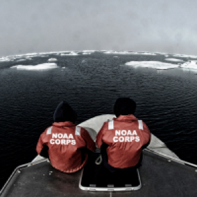
Less sea ice and more ship traffic means new charts needed for safety.
NOAA’s Office of Coast Survey has issued an updated Arctic Nautical Charting Plan , as a major effort to improve inadequate chart coverage for Arctic areas experiencing increasing vessel traffic due to ice diminishment.
NOAA plans to create 14 new charts to complement the existing chart coverage. For example, seven of the charts will complete chart coverage from the Alaska Peninsula to Cape Lisburne at the edge of the North Slope, and more charts support the future maritime transportation infrastructure in the coastal areas north of the Aleutian Islands.
“As multi-year sea ice continues to disappear, vessel traffic in the Arctic is on the rise,” said Rear Admiral Gerd Glang, NOAA Coast Survey director. “This is leading to new maritime concerns about adequate charts, especially in areas increasingly transited by the offshore oil and gas industry and cruise liners.”
“Given the lack of emergency response infrastructure in remote Arctic waters, nautical charts are even more important to protect lives and fragile coastal areas,” Glang said.
Commercial vessels depend on NOAA to provide charts and publications with the latest depth information, aids to navigation, accurate shorelines, and other features required for safe navigation in U.S. waters. But many regions of Alaska’s coastal areas have never had full bottom bathymetric surveys, and some haven’t had more than superficial depth measurements since Captain Cook explored the northern regions in the late 1700s.
“Ships need updated charts with precise and accurate measurements,” said Capt. Doug Baird, chief of Coast Survey’s marine chart division. “We don’t have decades to get it done. Ice diminishment is here now.”