A Storm Surge Watch is in effect for: Mouth of the Pearl River to Intracoastal City. A Hurricane Watch is in effect for: Mouth of the Mississippi River to Cameron. A Tropical Storm Watch is in effect for: Mouth of the Mississippi River northward to the Mouth of the Pearl River.
A Storm Surge Watch means there is a possibility of life-threatening inundation from rising water moving inland from the coastline in the indicated locations during the next 48 hours. For a depiction of areas at risk please see the National Weather Service Storm Surge Watch/Warning Graphic available at hurricanes.gov.
A Hurricane Watch means that hurricane conditions are possible within the watch area. A watch is typically issued 48 hours before the anticipated first occurrence of tropical-storm-force winds conditions that make outside preparations difficult or dangerous.
A Tropical Storm Watch means that tropical storm conditions are possible within the watch area generally within 48 hours.
Warnings and additional watches may be required for portions of the northern Gulf coast later today. Interests elsewhere along the U.S. Gulf Coast from the Upper Texas Coast to the Florida Panhandle should monitor the progress of this system.
For storm information specific to your area, including possible inland watches and warnings, please monitor products issued by your local National Weather Service forecast office.
Latest Information
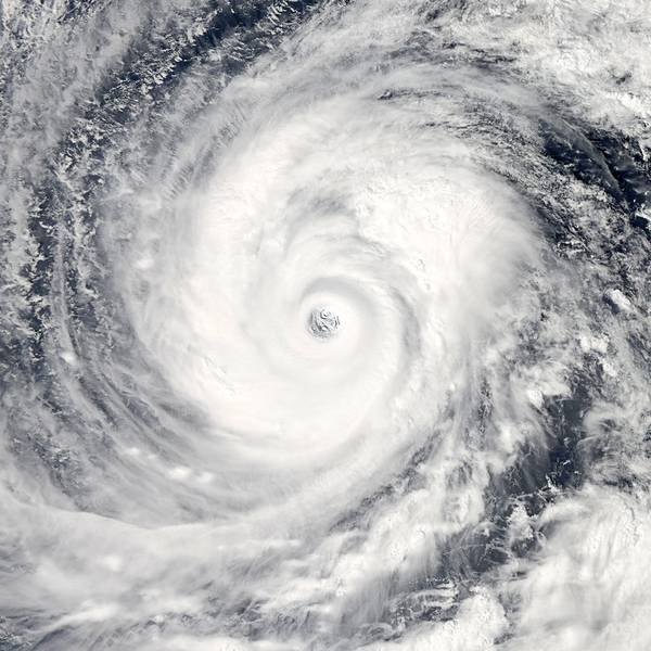
At 700 AM CDT (1200 UTC), the disturbance was centered near latitude 27.6 North, longitude 88.5 West. The system is moving toward the west near 5 mph (7 km/h), but a west-northwest motion is expected on Friday followed by a northwestward track by early Saturday. On the forecast track, the system is expected to approach the Louisiana coast this weekend. Reports from a NOAA Hurricane Hunter aircraft indicate that maximum sustained winds are near 35 mph (55 km/h) with higher gusts.
Strengthening is forecast during the next couple of days, and the disturbance is forecast to become a tropical depression or a tropical storm later today, and could become a hurricane by late Friday. The associated thunderstorm activity is gradually becoming better organized, and the disturbance is expected to become a tropical depression or a tropical storm later today or Friday.
The minimum central pressure based on recent Air Force Reserve Hurricane Hunter data is 1005 mb (29.68 inches).