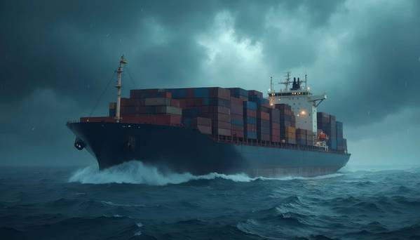
SailTimer is using innovative technology to crowdsource weather data for ships. This type of data has never existed before, allowing ships to reduce fuel costs and greenhouse gas emissions.
The marine weather forecast visible in all major weather services comes from satellite imaging. It is only a prediction, and is only updated every 6 hours. For wind direction it has an average error of +/- 35 degrees offshore, and even worse for future predictions and in coastal areas where the wind flows around landforms. The resolution from satellite imaging is also low, only telling you one wind direction for each cell, typically 15 x 15 nautical miles. But everyone knows that the wind is not the same everywhere within a cell that large.
When SailTimer’s crowdsourced wind measurements are applied in weather routing software, the arrival time can be calculated with more certainty. With actual measurements from other vessels rather than the inaccurate predictions from satellites, a ship can more accurately
calculate its arrival time in port. This allows the ship to reduce speed as much as possible, for lower fuel costs and emissions.
Rather than re-routing around a storm, there is a much bigger benefit from staying on the direct rhumb line to the destination and reducing speed as much as possible. Crowdsourced wind measurements from ships up ahead allow the arrival time and minimum speed required to be updated accurately throughout the trip.
The SailTimer Air Link is an inexpensive device for getting data off of ships ($75 - https://wirb.com/product/air-link). It can capture any data from on-board networks (NMEA 2000, 0183 or wifi), to help with emissions reporting and compliance, voyage optimization or predictive maintenance. It can also help to automate and reduce the administrative burden with noon reports and other documentation and compliance. It can use the satellite transmissions on the ship to send data to an online database, either in real time or on a schedule, or can store data on a micro-SD card. Having a low-cost method of digitizing data may also help ship owners with FuelEU and EU ETS carbon fee calculations and planning.